Geographical survey milestone marks major step for SNII
Norway has reached a pivotal milestone in the development of its first offshore wind project, as the initial phase of comprehensive geographical and geotechnical surveys for Sørlige Nordsjø II (Southern North Sea II) has now been successfully completed. This achievement marks the start of the practical phase in what is poised to become a landmark chapter in Norwegian energy history.
High-tech surveys uncover key data
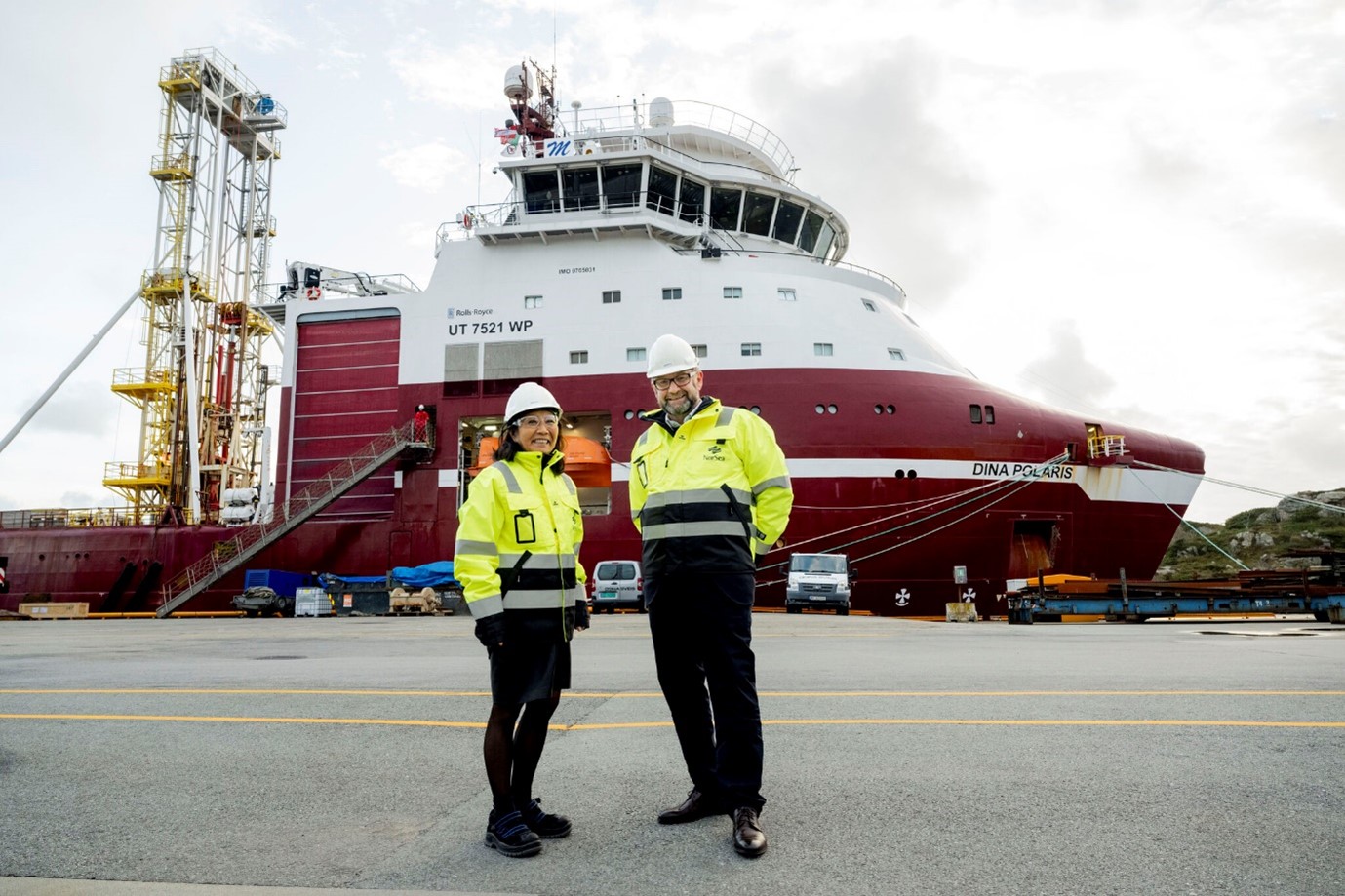
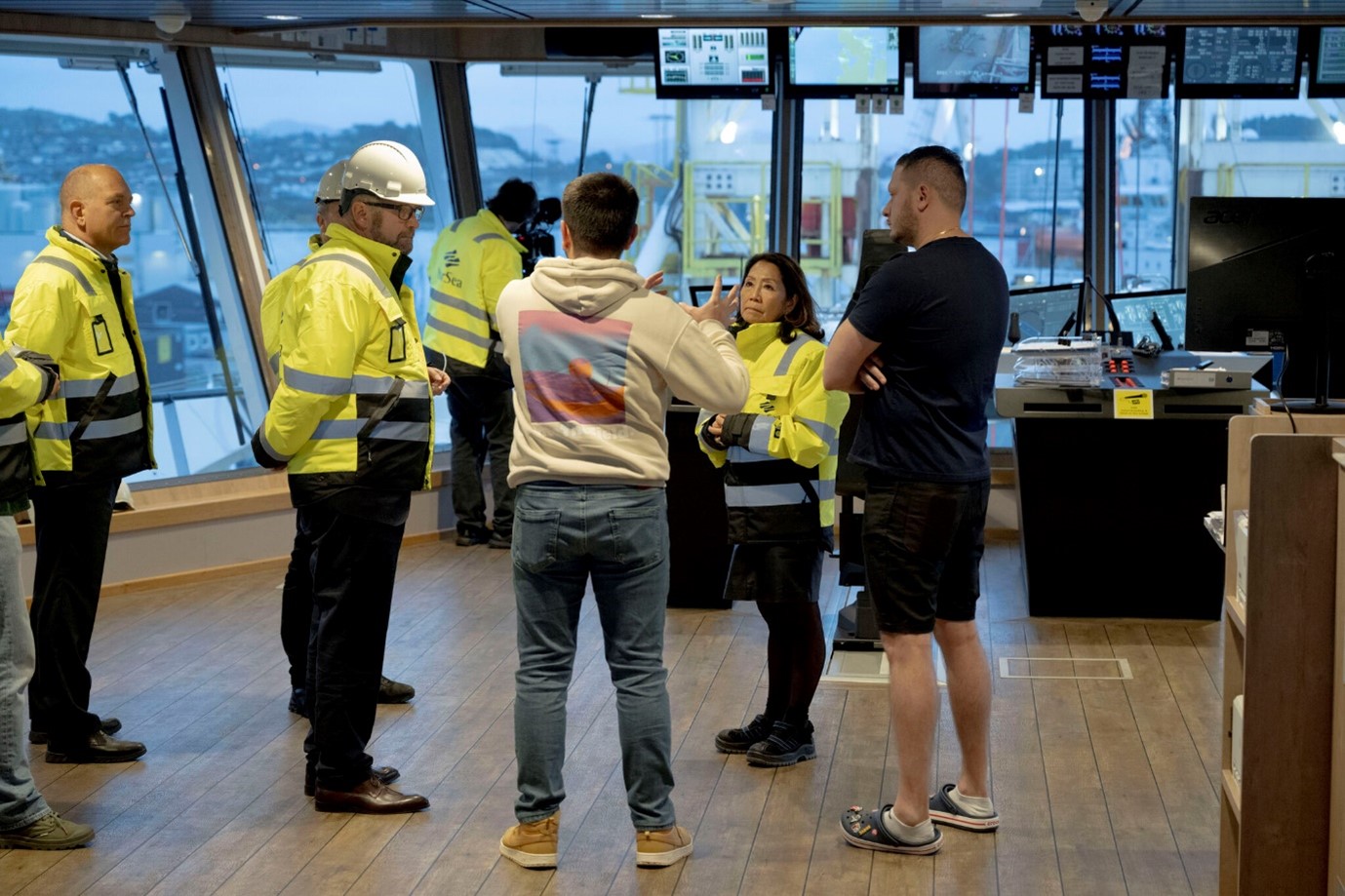
At the heart of this effort is the advanced survey vessel Dina Polaris, which set sail from Tananger harbor earlier this year. The vessel has played a central role in collecting essential data from the seabed, 200 kilometers off the coast of Agder, where the wind farm will rise with up to 100 fixed-bottom turbines.
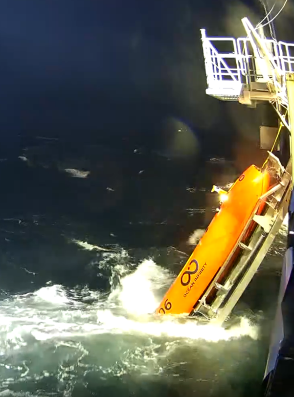
The recent campaigns have involved geotechnical investigations, geophysical mapping, and environmental studies along the project’s electrical cable (EC) route. Between October 2024 and January 2025, Ocean Infinity led a second survey using Autonomous Unmanned Vehicles (AUVs) to scan a 500-meter-wide corridor along the 190-kilometer cable path.
Despite operating through the winter months, the high-resolution surveys revealed crucial insights. These findings will inform future decisions on cable routing and turbine positioning.
In parallel, seabed cone penetration testing, microcore sampling, and laboratory analysis were carried out to better understand subsurface conditions. A Remote Operating Vehicle (ROV) -similar to an underwater drone – conducted video mapping of the seafloor habitats, helping to correlate physical data with ecological observations.
“It’s the first tangible, physical sign that offshore wind development is no longer just a vision for Norway – it’s happening,” noted Anne K. Knausgård, Country Manager for Parkwind Norway. “This is a significant leap forward.”
Next steps in 2025
With the initial surveys now wrapped up, the project team is preparing for the next stages of soil characterization. These include:
- Conducting a nearshore study to determine the optimal landfall site;
- Launching the detailed design phase for turbine foundations;
- Executing a specialized boulder survey to fine-tune turbine locations within the concession area.
These surveys are critical for ensuring that the 80–100 turbines of Sørlige Nordsjø II are safely, and with maximum attention for the environment, anchored in firm seabed conditions, setting a robust foundation for the future of Norway’s offshore wind sector.